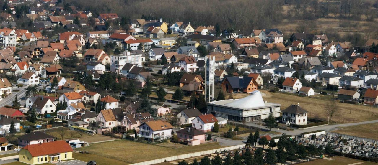
The city of Saint-Louis modifies its PLU every year
The commune of Saint-Louis adopted a Local Urban Plan (PLU) in 2011. It has already been modified 9 times, i.e. at a rate of1 modification per year.
Founded under the order of Louis XIV, Saint-Louis is located in the historical and cultural region of Alsace, on the border with Switzerland, and very close to the border with Germany. The town is crossed by the D66, a busy road linking Strasbourg to Basel. This privileged geographical position allows it to develop rapidly.
In the city centre, the maximum authorised heights vary from 9 metres to 25 metres , i.e. from R+3 to R+7 depending on the zones concerned. The ground surface area is not regulated.
The mayor of Saint-Louis, Mr Jean-Marie ZOELLÉ, is surrounded by Mr Bernard SCHMITTER, deputy town planning officer
There are many reserved sites covering large areas, particularly around the railway tracks at Saint-Louis station (Haut-Rhin) and at Basel-Mulhouse airport, along the A35 motorway. They can also be found around the D66 departmental road and in the vicinity of the Rue de la Fraternité and the Chemin de Langhagweg.
The city has authorised about fifteen building permits , the majority of which are located in the city centre. They provide for the construction of 700 collective housing units and about ten individual housing units.
READ ON THE BLOG
The land development in Saint-Louis presents many opportunities.
Are you a real estate professional?
Test Kel Foncier for free at kelfoncier.com/test-gratuit to identify land project opportunities revealed by the Saint-Louis Local Urban Plan.
Real estate professionals, contact pro@kelfoncier.com or directly at 01 84 60 28 84 to obtain test access to Kel Foncier.
The Kel Foncier team wishes you an excellent land development!